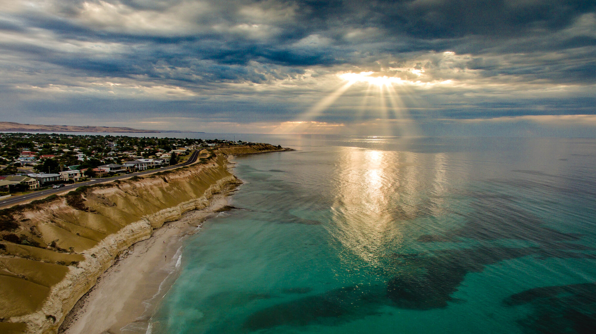
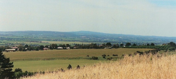
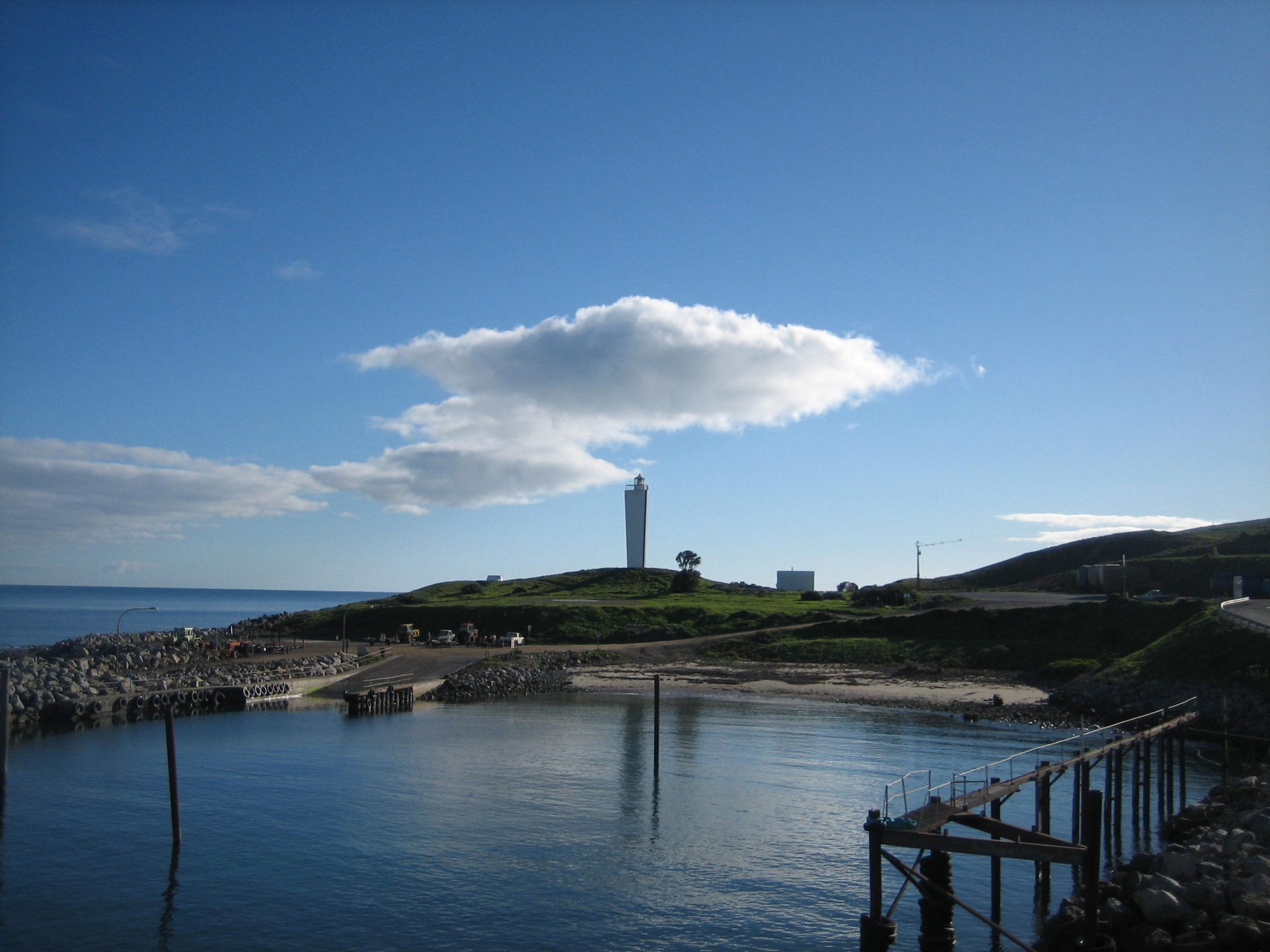
Port Willunga, Second Valley, Yankalilla, Rapid Bay, Normanville - the Fleurieu coastline is dotted with the stumps, pylons and ruined decks of jetties that once loaded slate, grain, wine and passengers for Port Adelaide. Some are still half-standing. Some you can swim or dive through. Here is a photo-trail of what survives.
A coast that shipped everything out
For most of the nineteenth century, the coast of the Fleurieu Peninsula was the only way to get anything off the peninsula. There was no railway south of Adelaide until the 1880s, the roads were marginal, and the economic geography of the district was oriented entirely toward the gulf. Grain, wine, almonds, slate, wool, timber, fish and passengers all moved by ship - and ships needed somewhere to load.
The answer was jetties. Between 1850 and 1900 the Fleurieu coast was fitted with at least a dozen loading jetties, spaced every 10 to 15 kilometres along the western and southern coast, each serving the hinterland directly inland of it. Some were full-scale structures that could take a paddle steamer or a two-masted ketch. Some were barely more than timber walkways out onto the reef. All of them saw heavy use for a few decades, and all of them were abandoned as the railways and the roads caught up with the coastal traffic.
Most of the jetties are gone now. A few are still operating as recreational fishing structures. A handful are in between - closed to the public, half-collapsed, with pylons still standing in the surf. That third category is the one this piece is about. Here are the ghosts of the Fleurieu coast and how to find them.
Port Willunga
The most photographed ruined jetty on the South Australian coast. The original timber jetty at port-willunga-beach was built in 1853 to load grain and wine onto ketches for Port Adelaide. It was rebuilt and extended several times over the next fifty years to handle the growing McLaren Vale wine trade, and was in full use when the Star of Greece was wrecked on the reef directly offshore in 1888. The jetty continued to operate after the wreck but traffic declined as the Willunga railway took over after 1915. By the 1930s it was disused. Storms through the 1940s and 1950s broke most of the deck away, leaving only the pylons.
What survives today is a double row of timber pylons running about 50 metres out from the cliff into the surf. The pylons are still the original ironbark, weathered black and silver, and at high tide the outer ones are submerged at their bases. The whole row is directly in the axis of the sunset between April and August, which is why the spot has become the most-photographed Fleurieu landmark and why the star-of-greece restaurant on the cliff above does such good evening trade. A short path from the main beach carpark leads to the foot of the cliffs immediately adjacent to the pylons. You can walk between the inner pylons at low tide.
The 1855 stone boat-building caves on the cliff face immediately north of the pylons are the other surviving element of the working port. You can walk up to them on a dry day.
Second Valley
second-valley-jetty at second-valley-beach is the opposite of Port Willunga - still standing and still in use. The current jetty was built in 1985 on the site of an earlier 1890s structure, and is now one of the most popular recreational fishing jetties on the Fleurieu. The 1890s original loaded slate from the nearby Delamere slate quarries and fish from the local catch boats. Its pylons ran slightly north of the modern alignment and a few stumps are still visible at low tide on the sandy beach east of the modern structure.
The setting here is one of the most striking on the Fleurieu coast. The valley itself is a narrow green gully opening onto a sheltered cove with dramatic layered sandstone cliffs on both sides, and the jetty runs out from the middle of the beach into clear water that holds one of the best snorkel sites on the peninsula. The jetty-store-cafe-second-valley on the road down to the beach is the practical base for a visit.
You can snorkel around the jetty pylons. The visibility on a calm day is five metres or better and the pylons are colonised with soft corals, kelp, schooling fish and occasional leafy sea dragons. The second-valley-snorkel-site is one of the reasons divers come to this stretch of coast at all.
Rapid Bay
The jetty at rapid-bay is arguably the most interesting of the ghost structures on the Fleurieu because it is not fully ruined and not fully gone. Two jetties exist at Rapid Bay today: the original 1940s cargo jetty that loaded dolomite from the now-disused BHP Rapid Bay quarry, and a smaller recreational jetty built in 2009 parallel to it.
The old cargo jetty was a major industrial structure 500 metres long with a conveyor belt running its full length to load bulk dolomite directly from the cliffs above the beach. It was closed in 1982 when the quarry stopped operating, and the conveyor was removed a few years later. What remains is a kilometre-long double row of concrete and timber pylons running out into the bay. The deck has long since collapsed in most places but the pylons are still there and still massive.
The old jetty is now one of the most famous dive sites on the South Australian coast. The rapid-bay-jetty-dive-site is where the leafy sea dragon - the state marine emblem - is most reliably seen in South Australian waters, and the pylons and fallen deck timbers have become an artificial reef that holds a startling volume of marine life. Divers enter from the beach, swim out under the parallel (accessible) modern jetty, cross to the old jetty line, and work their way seaward through the pylons. The dive is shore-accessible and suitable for recreational divers. The sea-dragon-dive-lodge at nearby Second Valley is the usual base for multi-day trips.
Above the water, the remains of the BHP quarry buildings at the back of the beach and the gigantic scar in the cliff face where the dolomite was worked are both still visible.
Normanville
normanville-beach had a jetty for about 40 years from the 1860s to the 1900s. It loaded wheat, hay and almonds from the farms inland around yankalilla-town and handled passenger traffic from the small coastal steamers that ran the gulf. The jetty was damaged by storms several times and was effectively out of use by the early 1900s. The Normanville jetty has been gone longer than any of the others on this list, and the pylons have rotted down to stumps mostly below the sand level.
What you can still see is the landward abutment on the southern end of normanville-beach - a low stone retaining wall and the visible stumps of two or three pylons at low tide, on the line where the jetty once ran out from the beach. Walk the beach south from the main carpark for about 300 metres. The stumps are easy to miss unless you know to look for them.
The Normanville-Yankalilla coastline continues north through carrickalinga-beach toward the next jetty site at Myponga. None of the jetties between Normanville and Myponga survive in any form.
Waitpinga and Parsons Beach
The open southern coast east of the Bluff did not have commercial jetties in the 19th century - the seas are too rough and the coast is too exposed - but it had short-lived fishing jetties and boat launching structures at several points. waitpinga-beach and parsons-beach both had small 1930s fishing jetties that did not survive more than a few years in the winter surf. Nothing of them remains above the sand.
The southern coast has its own different kind of maritime ghosts, in the form of several shipwrecks on the reefs between Waitpinga and Cape Jervis. But those are not jetties.
Goolwa
goolwa-wharf-precinct is the other important Fleurieu port site and a contrast to all of the above - a working wharf from the paddle-steamer era that has been preserved rather than lost. The original 1850s Goolwa wharf was the downstream end of the entire Murray River paddle-steamer trade, and the structures that survive today (the restored wharf, the ps-oscar-w, the boat sheds, the slip) are all part of the original Goolwa port complex. If you want to see what a working Fleurieu port looked like in the 19th century, Goolwa is where you can still see it. The port at port-noarlunga on the Onkaparinga River is a similar survival from the northern end of the peninsula.
A one-day tour
A single long day is enough to see all the ghost jetties on the western coast. Start at port-willunga-beach in the morning when the tide is low and the pylons are at their most photogenic. Drive south via Myponga to normanville-beach and the abutment ruins. Continue south to second-valley-beach for lunch at the Jetty Store Cafe and a walk out onto the modern jetty and over the old pylon stumps. Finish at rapid-bay in the afternoon - the old cargo jetty is the most visually striking of all of them, and the drive back to Adelaide via carrickalinga-beach and the coast road will take you past the last of the small settlements that the jetties once served.
The jetties were the reason the Fleurieu existed as a separate economic region in the nineteenth century. The coast you see today, quiet and half-empty and mostly recreational, is what is left when the ships stopped coming.
Places mentioned
Star of Greece
Aldinga & Port Willunga

Port Willunga Beach
Aldinga & Port Willunga

Second Valley Beach
Myponga & Second Valley
Normanville Beach
Normanville & Yankalilla

Rapid Bay
Cape Jervis

Yankalilla
Normanville & Yankalilla

Parsons Beach
Victor Harbor

Carrickalinga Beach
Normanville & Yankalilla

PS Oscar W
Goolwa

Port Noarlunga
Onkaparinga

Waitpinga Beach
Victor Harbor

Rapid Bay Jetty Dive Site
Cape Jervis
Goolwa Wharf Precinct
Goolwa

Second Valley Snorkel Site
Myponga & Second Valley

Second Valley Jetty
Myponga & Second Valley
Second Valley Jetty Store
Myponga & Second Valley
Sea Dragon Dive Lodge
Myponga & Second Valley